
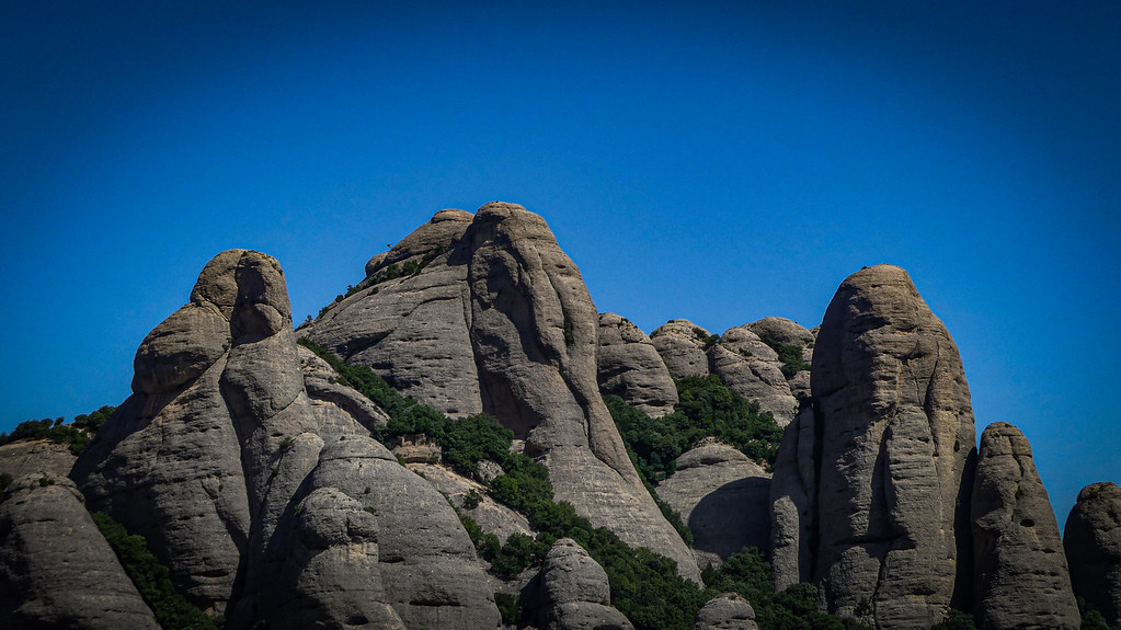
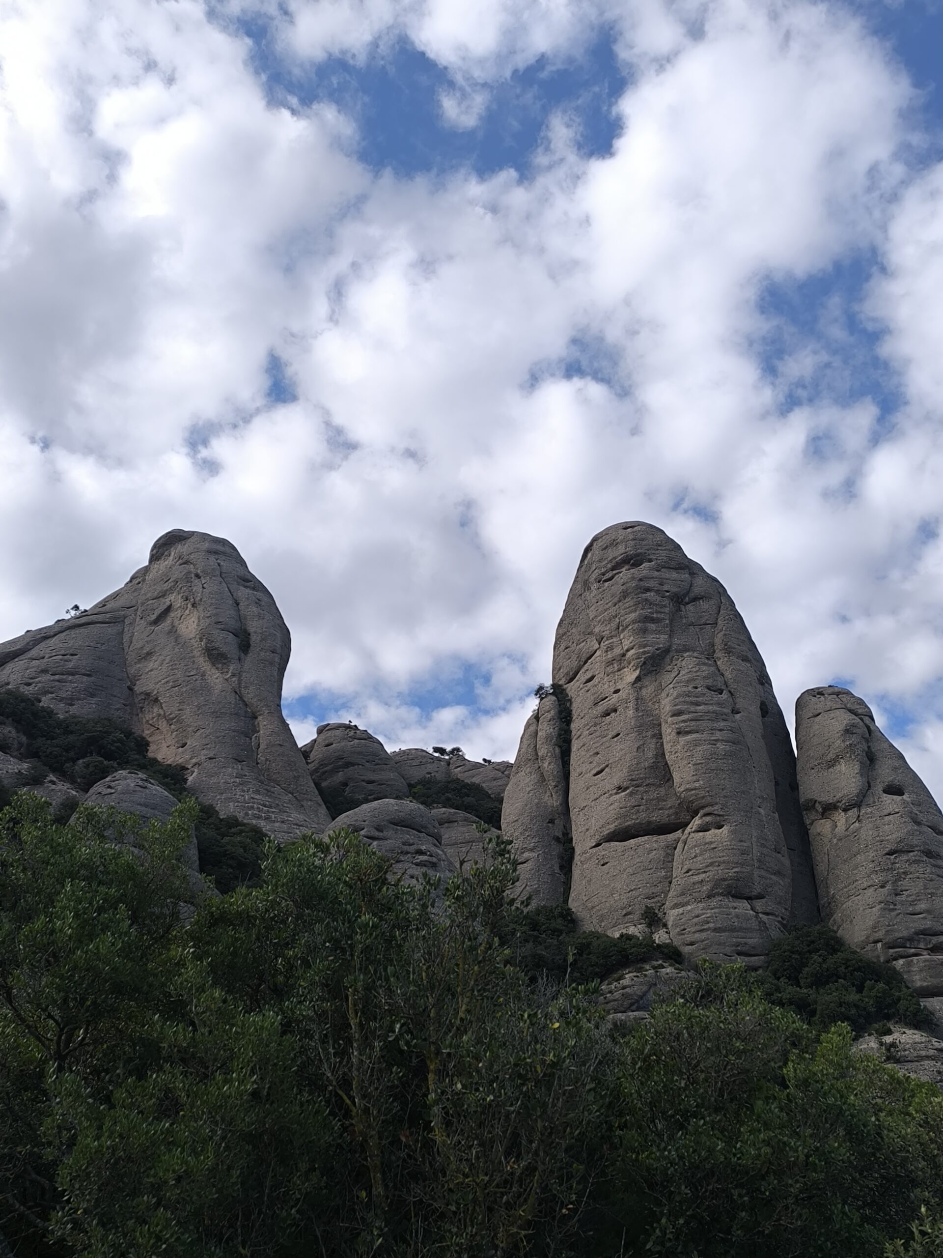
La Prenyada, l’Elefant and la Mòmia, 3 of Montserrat’s most iconic landmarks
Sant Jeroni and l’Elefant from Santa Cecília
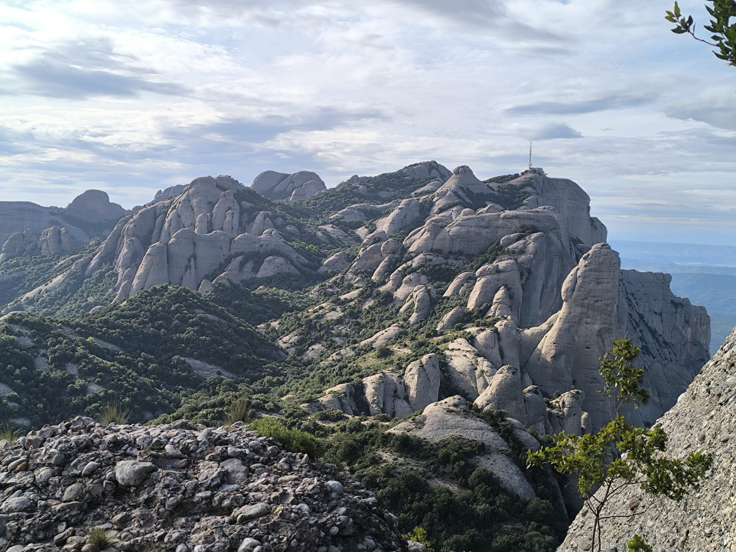
Two of Montserrat’s great objectives in a single day: Sant Jeroni, the roof of the massif, and l’Elefant (Roca de Sant Salvador), one of its most distinctive and demanding summits. We set out from the Santa Cecília monastery and head deep into the heart of the mountain, with technical sections, steep climbs and Montserrat’s most recognisable needles.
What makes this route special
- We’ll go up the Font del Llum gully, one of the technical sections of the route, to reach the Coll del Migdia, one of the passes at the heart of Montserrat, which divides the massif into north and south, between east and west.
- From there we’ll follow the Camell de Sant Jeroni ridge, gaining height with the main objective in sight: the summit of Montserrat, Sant Jeroni, at 1,236 m.
- We’ll walk through the Sant Benet area, with Montserrat’s most recognisable needles.
- The day’s second objective: l’Elefant, or Roca de Sant Salvador, one of Montserrat’s most important summits, where the final stretch will get the adrenaline going as we climb a chimney to the top.
- We’ll retrace our steps and walk back with unbeatable views of Montserrat’s greatest icon, the famous Cavall Bernat, until we reach our starting point: the Santa Cecília monastery.
Technical sheet
| Dates | 10 January 2027 (Sunday) |
| Start and finish | Santa Cecília monastery car park |
| Distance | 12 km |
| Elevation gain | +1,020 m / −1,020 m |
| Duration | 7-8 hours |
| Route type | Loop |
| Number of participants | Minimum 6 people, maximum 12 |
| Difficulty | 4/6 · Moderate-hard Steep climbs and some technical sections. You’ll need good physical fitness and experience on routes with a distance and elevation gain similar to those on this route. |
| Meeting point | Santa Cecília monastery car park, Montserrat |
The number of participants is adjusted to the difficulty, commitment and safety of this activity, to look after the experience, the pace and the attention given to each person.
Route map
Gear needed
- Mountain footwear with good sole traction
- 20-30L backpack with water (minimum 1.5-2L) and food for the day
- Windbreaker and warm clothing — check the forecast on meteoblue
- Sun protection and a cap
- Phone or camera
Close to the departure date we’ll contact each person directly with a more thorough list, adjusted to the weather forecast at the time.
Price
- Pre-book with no payment (2 minutes)
- We check your level and confirm your place as soon as possible
- You pay for the outing to secure your place
✅ Included
- TD2 qualified mid-mountain guide throughout the activity
- Accident insurance
- Local produce tasting to close the day
- Guided interpretation: history, geology, flora and fauna
❌ Not included
- Transport to the meeting point
- Personal food and drink
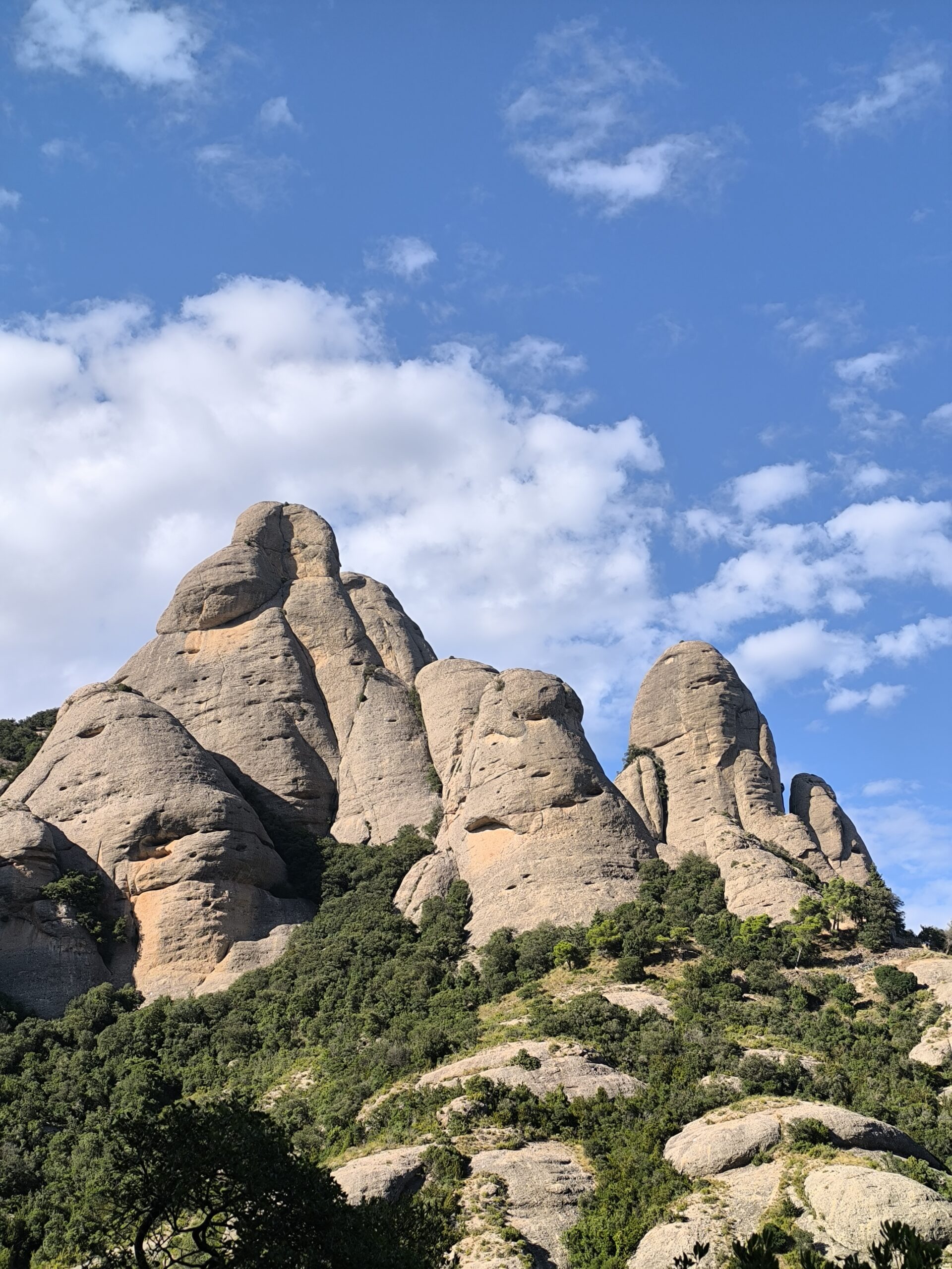
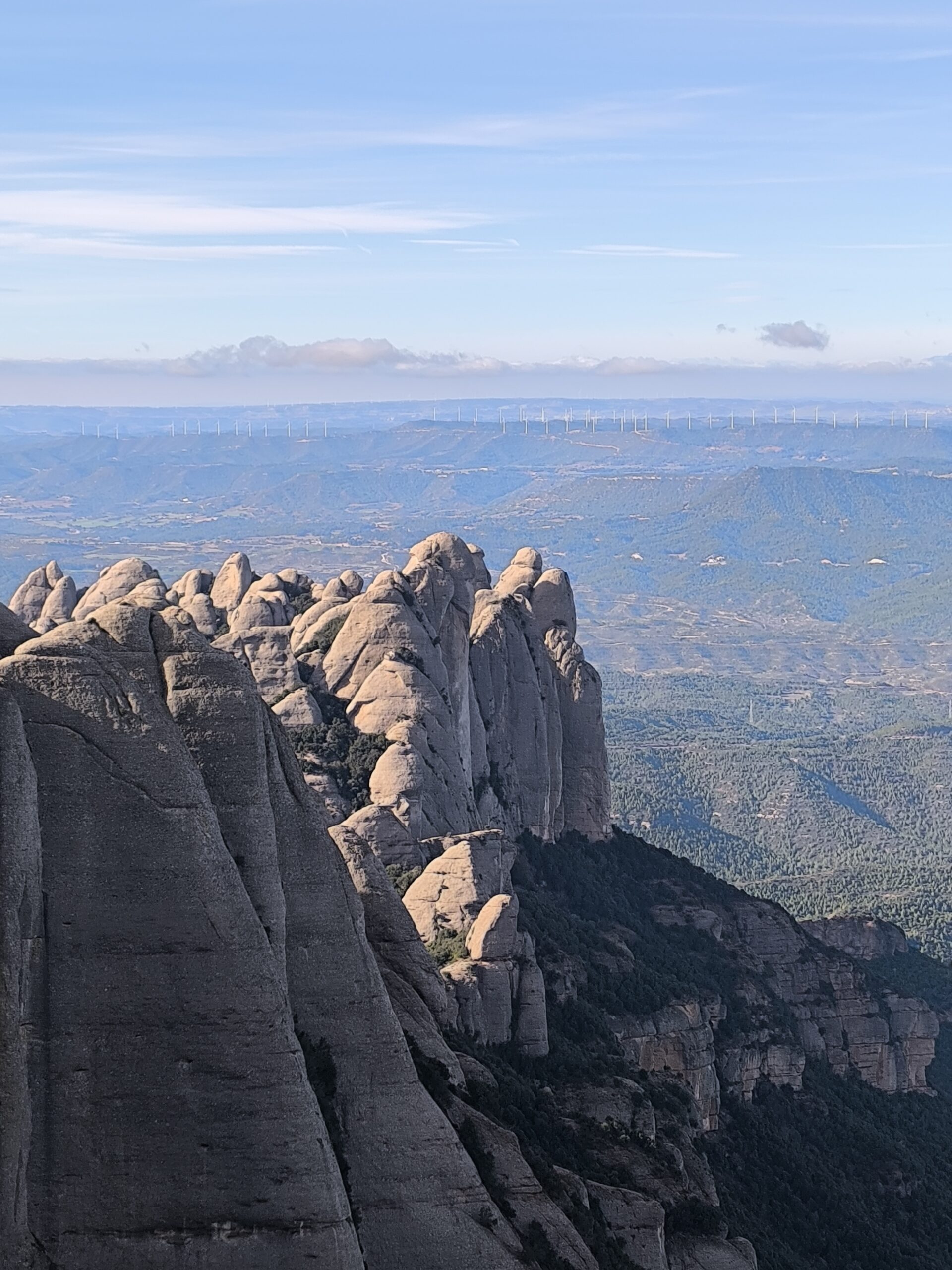
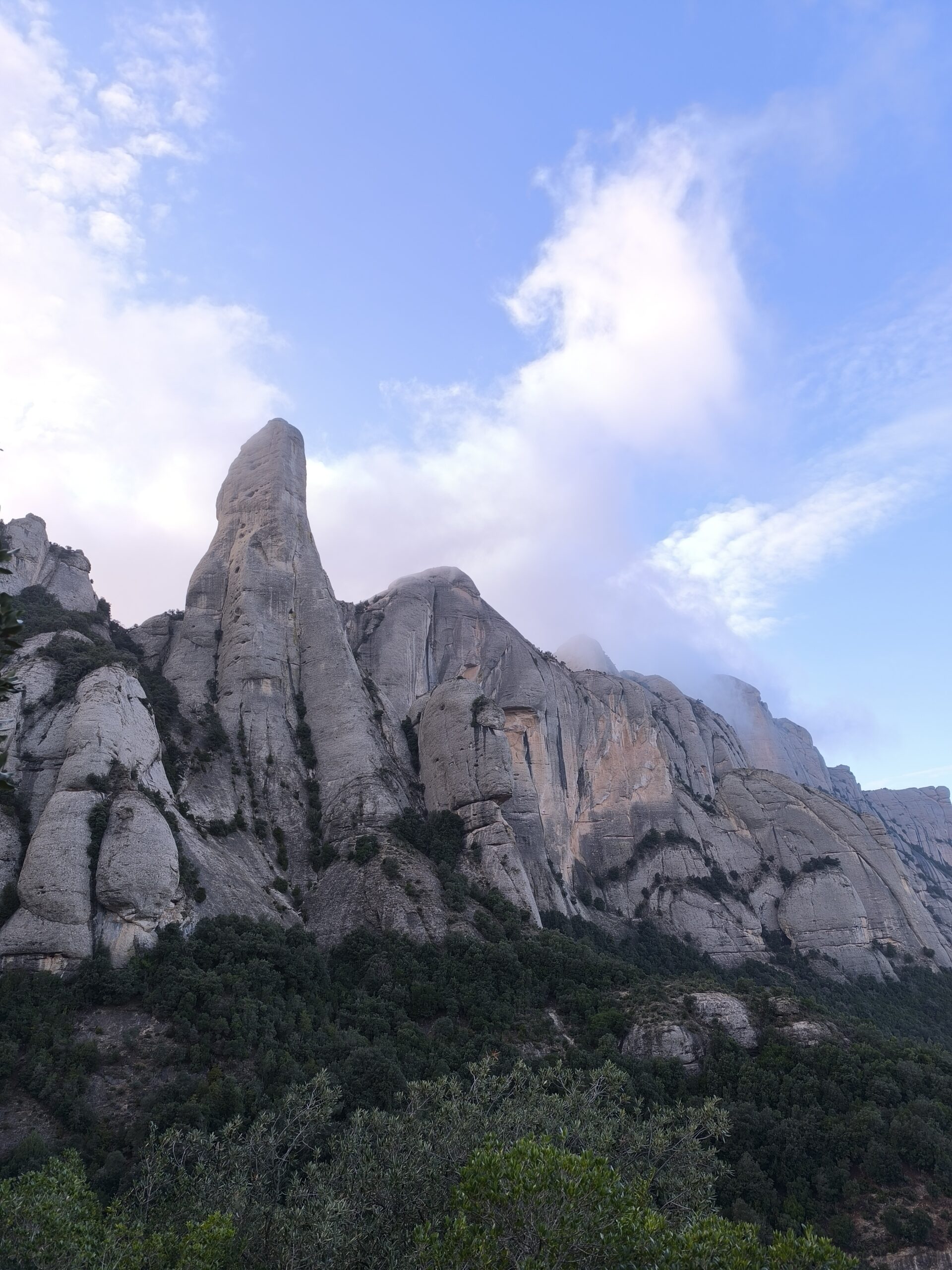
📷 Photo gallery
Click an image to enlarge it.
📝 Pre-book your place (no payment)
So the whole group is comfortable, we check each person’s level before confirming their place. We’ll get back to you as soon as possible.
If several of you are coming, answer for the least experienced person in the group.